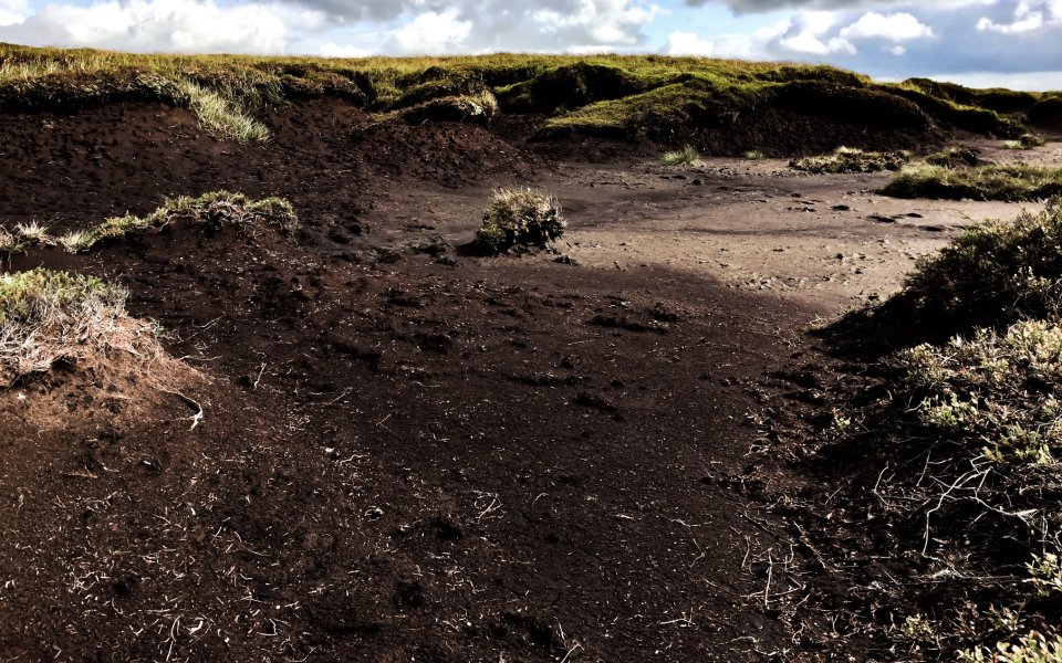
# D7 Eroded area: peat (a) mineral soils (b)

Photo: Chris Gilbert
# Definition of landscape category
D7 Eroded areas - Areas of eroding peat (D7a) in upland situations where bare peat is the dominant cover type, or where there is heavy dissection by eroding channels to give a mosaic appearance. The associated cover types are variable. Areas of eroding mineral soils (D7b).
# Aerial Definition

# In the Peak District
Historic damage to the moorland plants, in which air pollution and wildfire killed off huge areas of vegetation resulted in exposure of bare peat, which has no vegetation on it, leaving it vulnerable to wildfire and erosion. Often there are relict mounds or peat ‘hags’ several meters tall left standing on the bare peat or mineral soils left behind. The worst of this damage occurred in the Industrial Revolution, when smoke from factories in the surrounding cities caused air pollution and acidification. There is also localised historic damage where popular tracks and trails cross the peat.
A common land cover type in the original survey ( and recorded in the early 20th century). Today most bare peat and bare mineral soils have been successfully recovered by vegetation as a result of one of the biggest conservation and restoration projects in northern Europe Moors for the Future (opens new window). The process to fully re-wet and covert the habitat to active blanket bog over deep peat may take centuries (see F3a Modified/Active Peat Bog). If the project continues to be successful this will sequester significant quantities of Carbon form the atmosphere into surface storage.