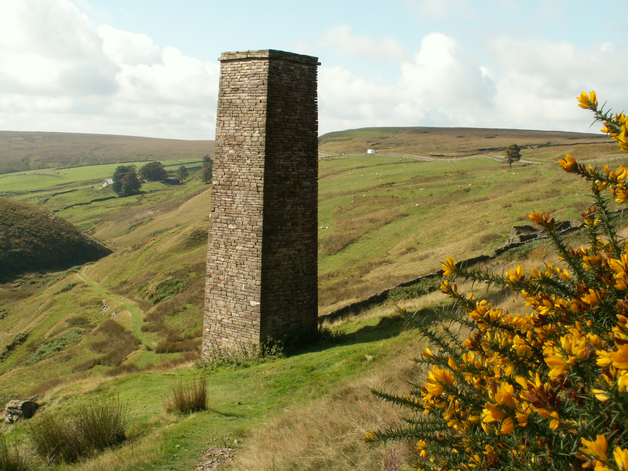
Landscapes that tell a story of thousands of years of people, farming and industry
# Cultural Heritage in the Peak District
What are heritage assets and how do we record what we know about them? Our ‘tangible’ heritage assets have physical form, and can vary greatly from a commanding Iron-Age hill-fort to a modest roadside milepost or flint tool buried in peat. Our ‘intangible’ heritage of skills, traditions, customs and language is equally important, though perhaps less easy to quantify.

# 95% of the heritage assets in the Peak District National Park are ‘non-designated’ and have no form of statutory protection
We use the term heritage asset to describe a building, monument, site, place, area or landscape that has some kind of heritage significance. The diversity of heritage assets in the National Park is extraordinary, ranging from prehistoric burial mounds, tombs, stone circles and field systems, to medieval granges and strip fields, lead working sites, industrial complexes, coal and mineral extraction, packhorse routes, traditional farmsteads, caves and caverns and designed landscapes, to name but a few.
The most significant sites are ‘designated’ which means they have some form of statutory protection. However, in line with the national average, around 95% of the heritage assets in the National Park are ‘non-designated’ and have no form of statutory protection. A fuller account of the mechanisms for heritage protection are given in the protection of assets section.
# The Historic Environment Record: Our historic environment database holds approximately 41,000 records
The core location for information on heritage assets is held within a Historic Environment Record (HER). These provide access to comprehensive and dynamic resources relating to the archaeology and historic built environment of a geographic area. The HER contains a variety of information, including known features/monuments, findspots and events (such as an archaeological survey) and links to other relevant source/archive material.
HERs are usually maintained and managed by local authorities, because the National Park straddles six local authorities we share heritage data with all of them, and we combine that data to make our own database of records relevant to the National Park. Our database currently holds around 41,000 records.
HERs are an essential tool for planning and development control (see section 5) but also for academics, communities and individuals pursuing their own research interests. HERs are public records. Some authorities host their HERs online, many others are available via the Heritage Gateway [1].
# An estimated 74% of the Peak District National Park has been subject to some form of archaeological survey or research
Thematic surveys, research and projects (see the Cultural Landscapes section) have generated information on heritage assets; some of this data is incorporated into the HERs but much of it is contained within our own GIS data layers, in PDF files, occasionally in paper form and in our photographic archives. An estimated 74% of the Peak District National Park has been subject to some form of archaeological survey, an increase on the 63% of the National Park considered to have been surveyed in 2014/15. It is worth noting that the quality and method of these surveys has varied over time, and that the current condition of many of those features surveyed may not be known because a significant amount of time has lapsed since they were surveyed.
Surveys and research have been conducted by the Peak District National Park Authority itself, local researchers, professional archaeological contractors, community projects, University staff and students, and other organisations such as the National Trust.
The Cultural Heritage Team also holds heritage information in our ‘Parish files’. This includes a range of sources such as newspaper cuttings and excerpts from published and unpublished sources of relevance to the historic environment.
# Our Historic Landscape Characterisation in GIS is available as a series of ‘time slices’ from the 1600s to the present day
The whole of the National Park has been covered by Historic Landscape Characterisation (HLC) and we hold this data as a spatial dataset in our GIS. HLC uses historic maps, aerial photographs and other sources to assess the historic development of discrete areas of landscape across a series of ‘time slices’ from the 1600s to the present day. HLC reveals the patterns and connections within a landscape, spatially and through time, giving us a wider perspective on landscape development than we can gain by looking at sites in isolation. Understanding the historic landscape is critical for understanding why our present day landscapes look like they do. All the national HLC data and reports are publically accessible, and are held by the Archaeology Data Service [2].
What are the gaps in our research & data?
- Research: this is an ongoing process and our knowledge is constantly growing, it can not remain static. Supporting and fostering collaborative partnership research projects is essential, especially when resources are tight and such work may be beyond the capacity of a single organisation.
- Heritage interpretation: the analysis of some datasets (e.g Lidar data) is a huge task and could benefit from a Citizen Science approach.
- Digital data capture techniques: (e.g. drone photography and structure from motion photogrammetry/modelling ) could be adopted by the Authority, given sufficient resources and training and would create now engagement opportunities (e.g. 3D digital models of key heritage sites).
- Land management: Ensuring that archaeological surveys are properly built into landscape interventions (e.g. moorland restoration or landscape management plans) is an essential part of building upon the existing body of knowledge, and filling in the knowledge gaps.
- Sharing data: doing this effectively both within and outside the Peak District National Park Authority is essential because data can serve multiple interests.